Via Mindat:
“This is a very old locality (circa 1897) at the Moore's Station (no longer exists) of the Reading RR. Specimens are found only in old collections.
The mineral listed for Moore’s Station indicate that the locality is in trap rock. The site of the former Moore’s Station, on the Reading (Conrail) Railroad is in an area underlain by the sediments of the Passaic formation. The quarry that is the probable locality is located approximately 1 mile north along the railroad from the former station site and ½ mile north of the Hopewell barite mine. It is also approximately 1 mile west of the intersection of Rt. 518 and Rt. 518 spur near the western end of Hopewell boro. The coordinates given are for the quarry, not the former station.
Here, just off the railroad tracks to the east is a small, shallow quarry that was opened in the 19th century and has been abandoned for many years. It is marked on a topographic map of the “Vicinity of Flemington”, dated 1887. The quarry is located in the diabase dike that extends from the western end of the Rocky Hill Sill, cuts upward through the Passaic Formation and is cut off by the Hopewell Fault, a major intrabasin fracture. Proximity of the quarry to this fault may explain why a significant number of mineral specimens were preserved from such a small excavation.
There is longstanding confusion between this locality and “Moore” a site along Rt. 29, very near the Delaware River and the northwestern end of Baldpate Mountain, approximately 3.7 airline miles west – southwest of the Moore’s Station on the Reading (Conrail) Railroad. The 1887 map, cited above, calls the place near the river “Moores”. The USGS topographic map calls it “Moore” but the road map published by Hagstrom calls it Moore’s Station. Trap Rock Industries refers to their large adjacent quarry in the northwest end of Baldpate Mountain as the Moore’s Station Quarry. The TRI quarry, reactivated it in 1982 after 50 years of dormancy, is also cut by splays from the Hopewell Fault and has produced mineral specimens. It was apparently not yet active at the time the 1887 map was published. Because of antiquity of the specimens and the confusion over the name the actual source of any specimen labeled “Moore’s Station” needs to be given some additional scrutiny.” (Moore's Station, Hopewell Township, Mercer County, New Jersey, USA)
Featured here is a matrix coated primarily in stilbite but accented by nearly colorless calcites. Ex William Wall Collection, via Alexandria Mineral Shop. A USA classic from the northeast that seldom comes available! The provenance adds great bonus.
Thank you so much for viewing! Please message for any further information
(3.3 × 2.4 × 1.1 in - 8.4 × 6.3 × 2.8 cm) 4.1oz / 116g
Orders ship Mondays

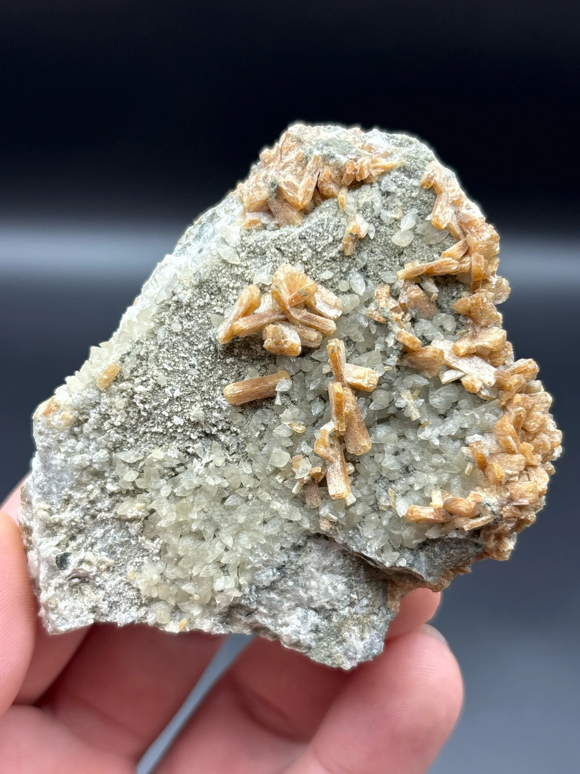 Image 1 of 6
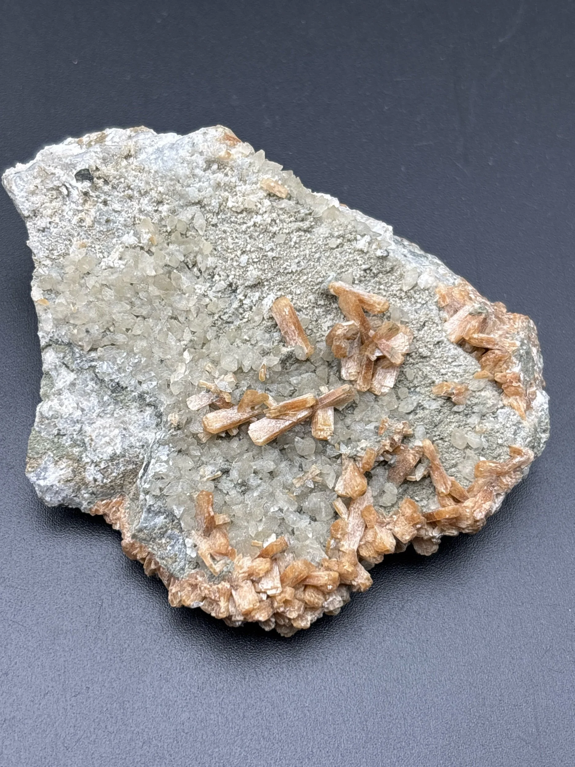 Image 2 of 6
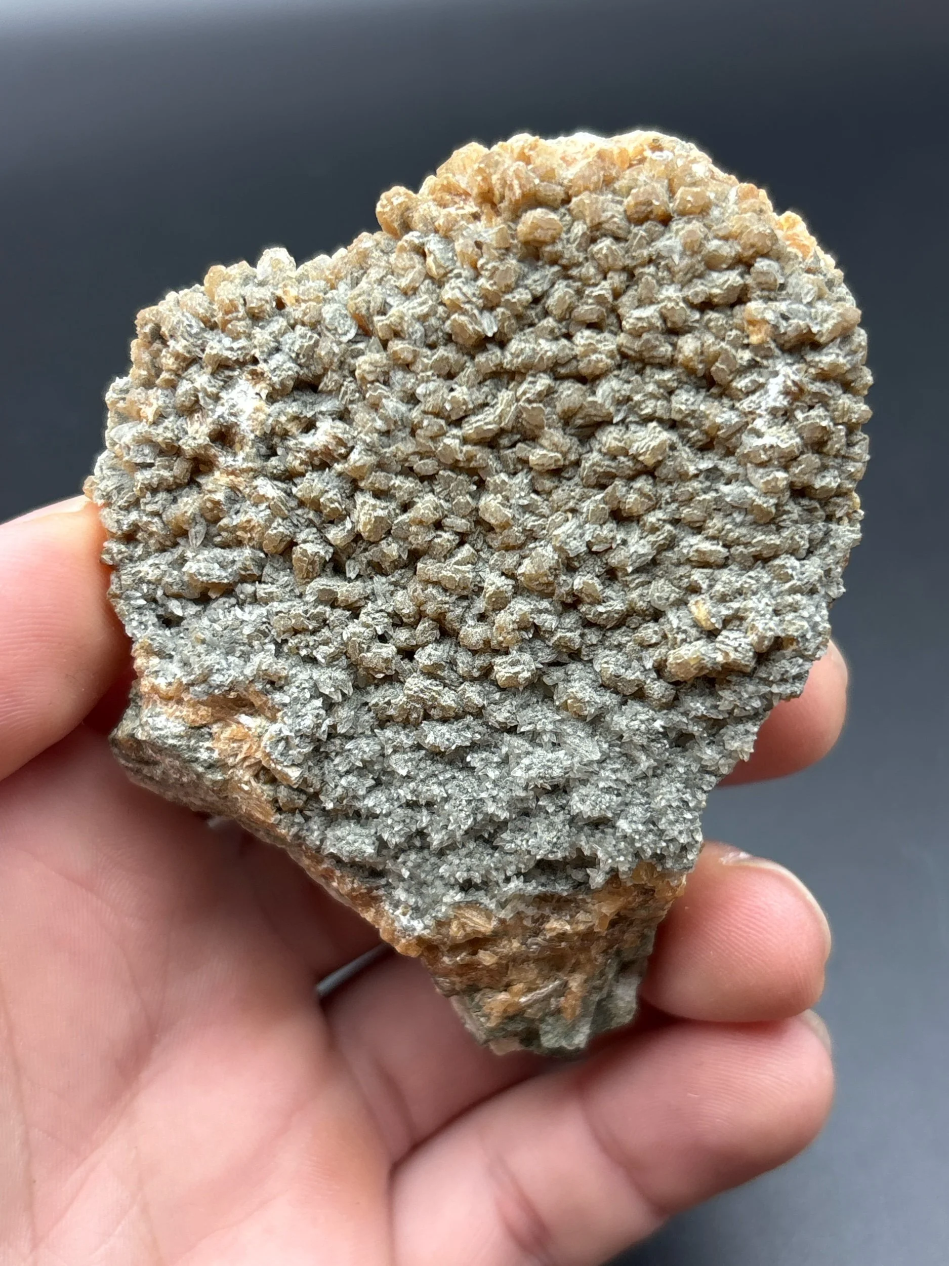 Image 3 of 6
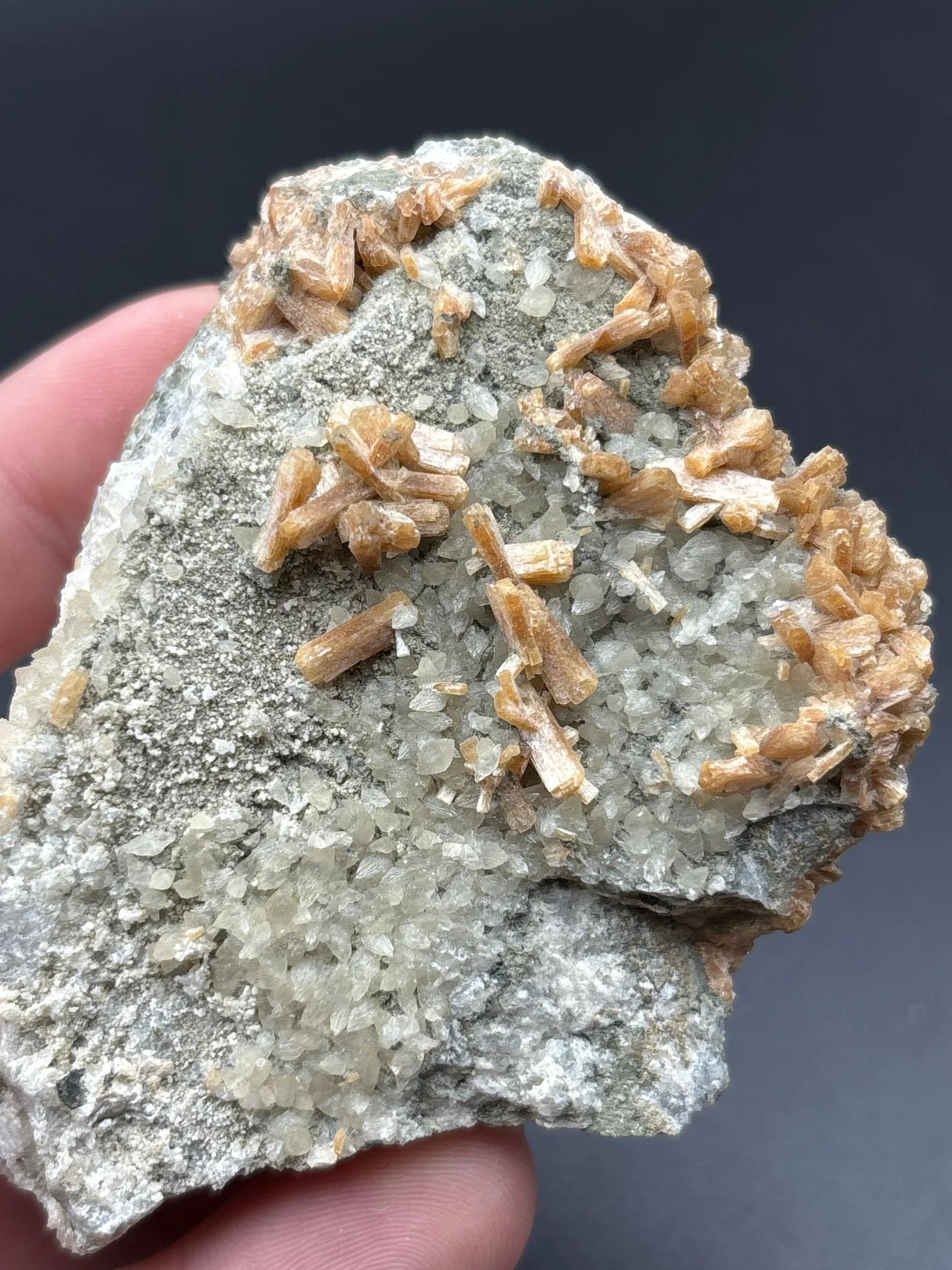 Image 4 of 6
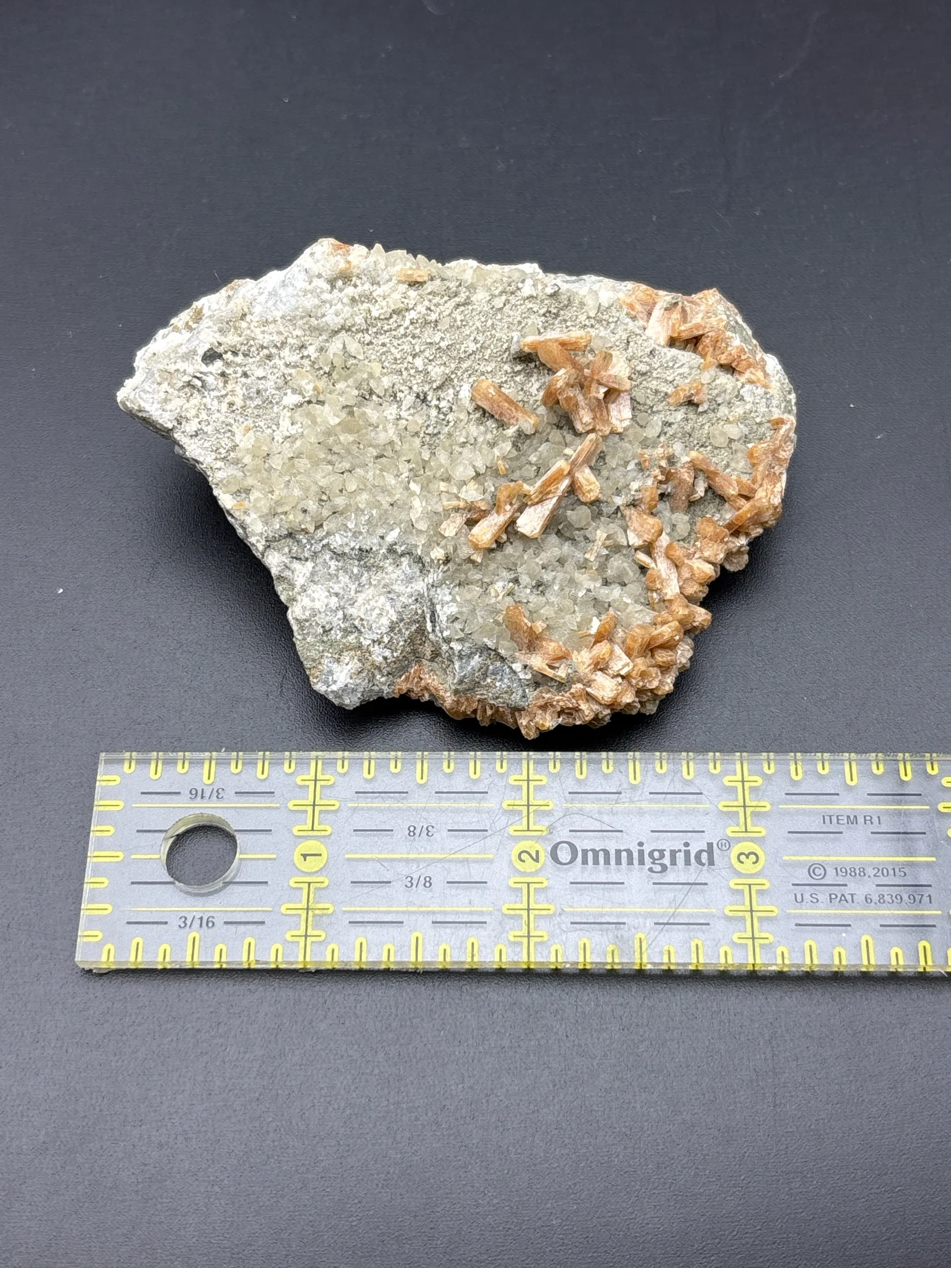 Image 5 of 6
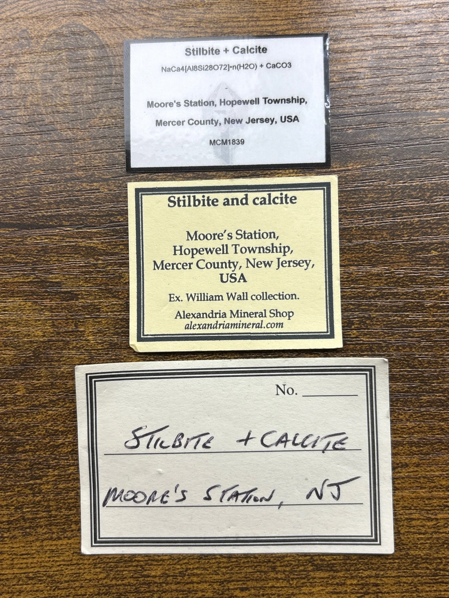 Image 6 of 6